All of France's public geoscience data, on one map.
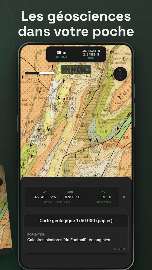
Geological maps, groundwater, soils, boreholes, polluted sites: Pangée brings together the major public databases, in the field, in one app, on Android or in your browser.
- 80+
- data layers
- 18
- data providers
- 0
- account needed
- Free
- no ads, ever
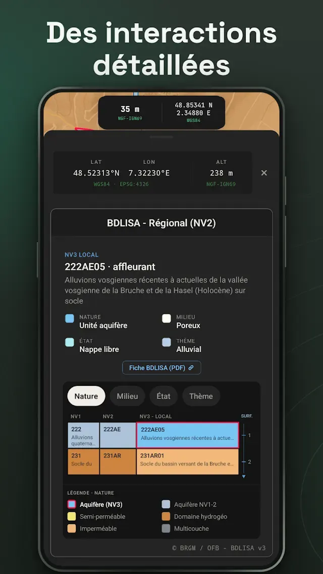
Query every layer
A detailed card gathers the information for every active layer at the chosen spot: a geological formation, an industrial site, a water quality measurement…
Over 80 data layers
BRGM, IGN, INRAE, OFB, MNHN and other providers: their data, mapped and kept up to date.
And more
Paleogeography globe, GIS file import and export, annotated points, location with heading and elevation: Pangée brings together a full set of geoscience tools.
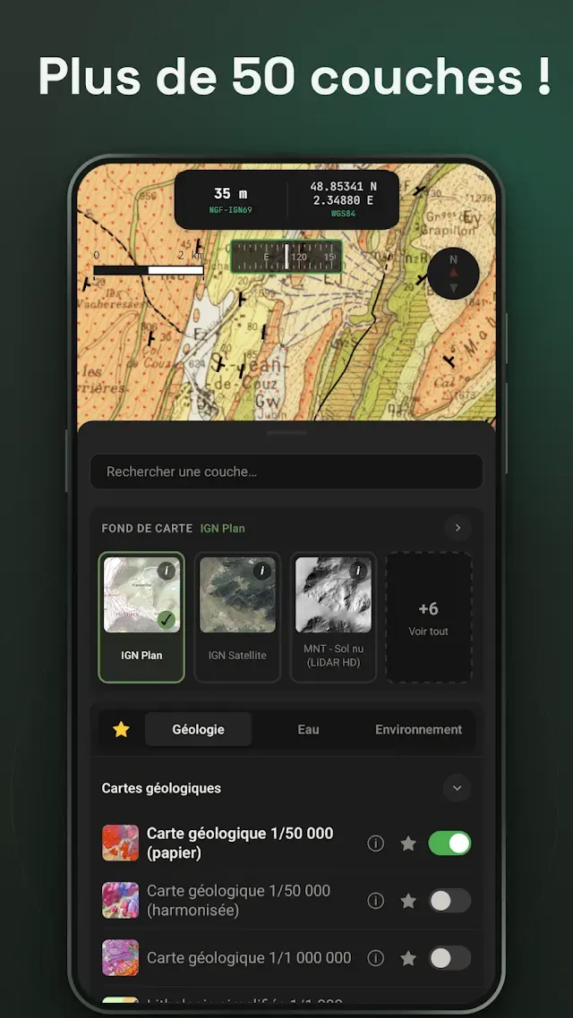
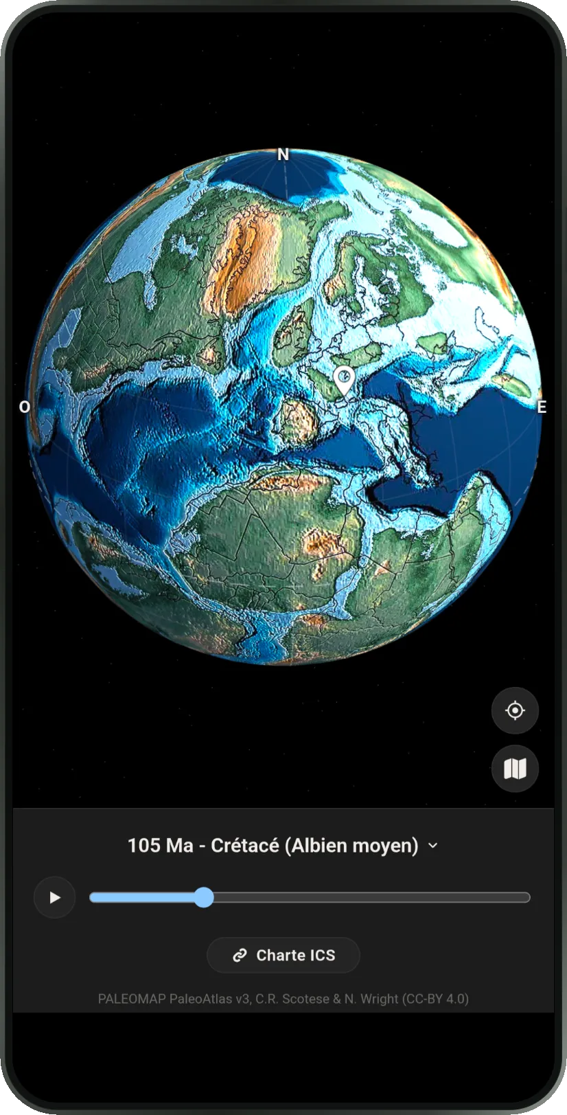
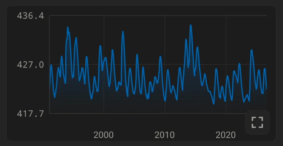
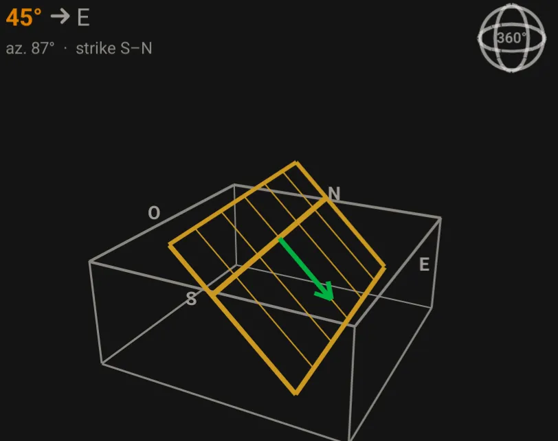
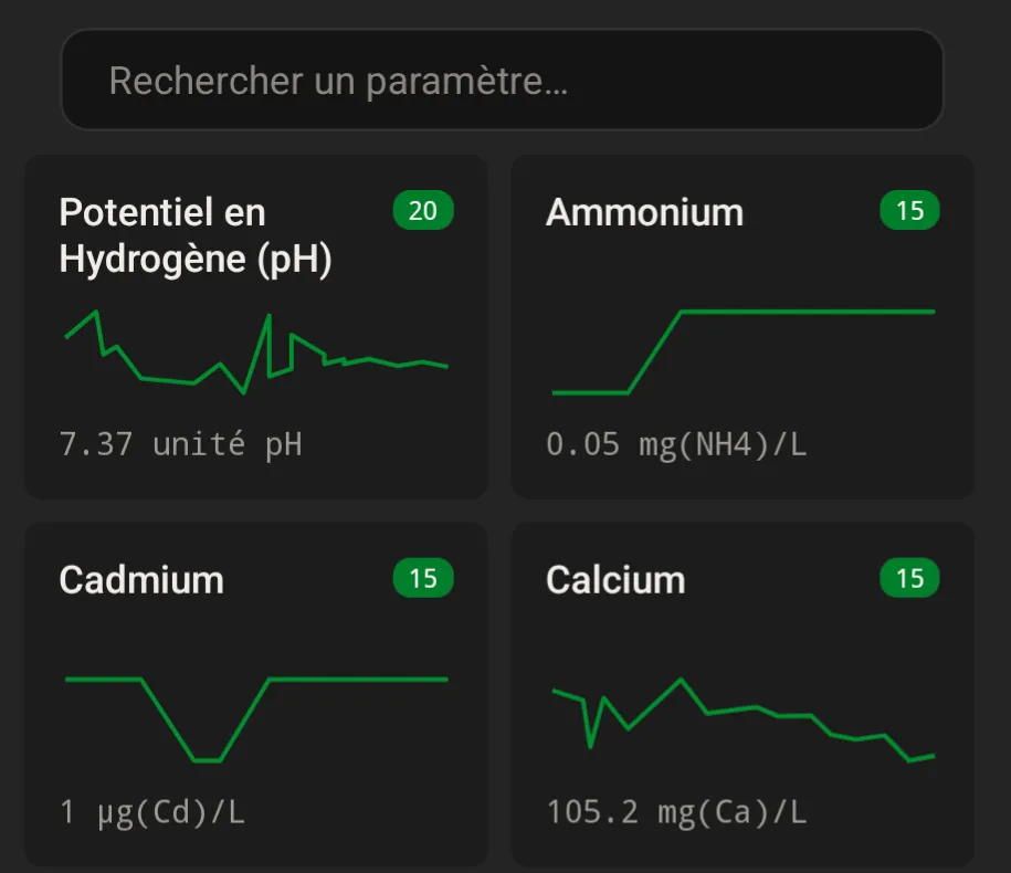
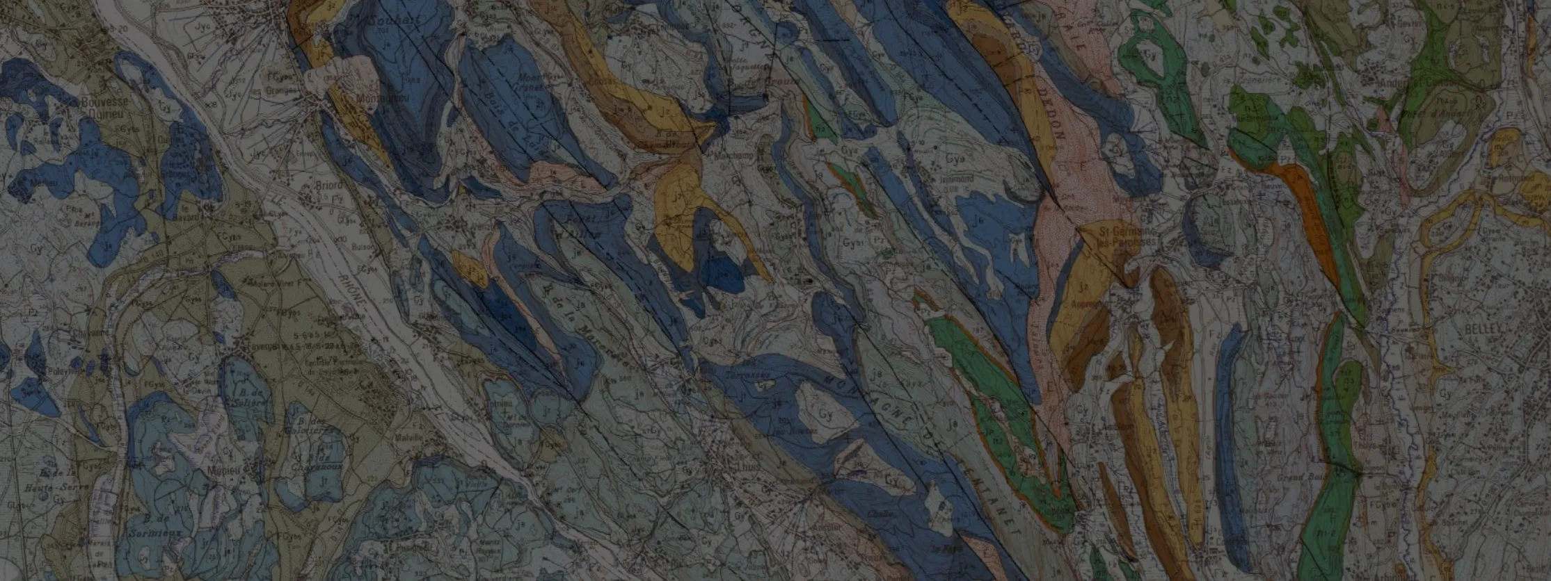
More than 80 geoscience datasets compiled.
- Hydrogeology
- Geology
- Piezometers
- Regulatory zoning
- Geological maps
- Groundwater bodies
- Natura 2000
- Faults
- Aquifers
- Polluted sites
- ZNIEFF
- Basemaps
- Structural dips
- BDLISA
- ICPE
- Natural hazards
- National parks
- LiDAR HD
- Boreholes
- Karst
- Hydrology
- PFAS
- Clay shrink-swell
- Regional nature parks
- Land registry
- Lithology
- Water abstraction
- Watercourses
- Former industrial sites
- Underground cavities
- Soil science
- Nature reserves
- Historical aerial imagery
- Mineral deposits
- Groundwater quality
- Water bodies
- Meteorology
- BASOL
- Ground movements
- RMQS
- SAGE
- Land cover
- Satellite imagery
- Fossils
- ADES
- Hydrometry
- Weather stations
- CASIAS
- Rising water table
- Available water capacity
- Coastal conservancy
- Corine Land Cover
- Digital terrain model
- Paleontology
- Hydrogeological units
- River quality
- Rain gauges
- SIS
- Radon
- Dominant soils
- Geological heritage
- Forests
- Topographic map
Take French geoscience data into the field
Pangée is free, works without an account and collects no usage data.